
PHASE 1 - COMPLETE!
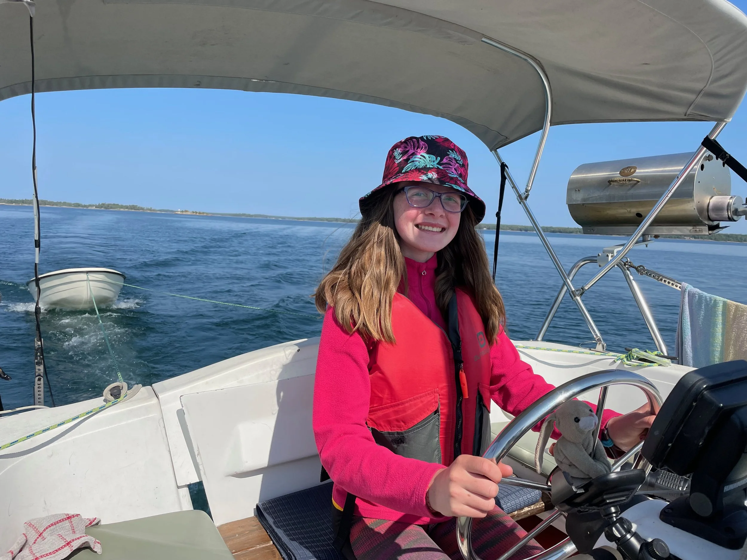
With mixed emotions we arrived back to our cottage on 12 Mile Bay on Saturday the 23rd. We started out that morning in the north east corner of Georgian Bay (the anchorage was called Sandy Bay) and had intended to anchor around Franklin Island when we arrived around 3:30pm, but the weather was so nice and we were getting close to home so we just kept going and arrived back at the cottage at 9:30pm. All in all it was about 65 nautical miles that day.
We wanted to say thank you to everyone for the comments and messages! It is so nice to get emails with comments and your thoughts on what we’re up to - thank you! We hope everyone’s month of September has been a good one and looking forward to seeing many of you in the coming week and a half!
Since the last update, we did a great hike up a peak that we did last year and loved (Casson Peak in Baie Fine), stopped in Killarney and did a restaurant crawl before crossing 4o nautical miles on the way to Sandy Bay (much less eventful than crossing the other way). We stayed in Sandy Bay for a day exploring, swimming and lounging and then motored all the way home. The return journey was very little wind, and the wrong direction so we had to use the motor the whole way, but it was so beautiful coming down the channel. We are so lucky to be able to share in the use of this amazing body of water.

Here’s our overall path around Georgian Bay. The dates shown are the dates we arrived at each location. Any missing dates are because we stayed more than one night at that location.

One thing that is crazy to see up in the south east end of Georgian Bay is a huge number of windmills. They are cool to see during the day, but the first time I saw them was when it was dark. The windmills are not shown on nautical charts because they aren’t intended to direct you in any way, but they have red synchronized flashing lights that you can see for more than 10 miles away, so you end up seeing them for about 4 hours if you are passing them. The first time I saw them I had no idea what they were and I honestly spent hours wondering on and off what they were while Jeremy and I were taking turns sailing/sleeping. This video shows the lights at night…not a great video (it’s dark so you have to really look closely) but it gives you an idea of what it might look like sailing along in the dark. The picture showing the dingy and windmills is when we were leaving that anchorage at around 6:45am just before sunrise.

Almost one month into the school year, our routine has started to shape into something like this:
6am ish - Kathy and Jeremy are waking up, paddling, walking or making coffee and tea. The kids are never surprised if they wake up and we aren’t there - though usually they don’t wake up.
8am-10am - walk, run paddle or explore somehow outside
10am-12pm - school work (math, french writing, french reading)
The rest of the day is open. In the afternoons we usually fix or clean stuff, go explore the area we’re in, play the mandolin and ukulele, continue our go fish tournament (I’m winning right now). The kids do a lot of reading, whatever projects we can coerce them into, play with the 6 hot wheels cars they brought each using various items to supplement, and the inevitable fighting about who hit who or what is not fair.
How do we know where to anchor?…and other stuff like that.
I was thinking that I have often mentioned an “anchorage” but haven’t really talked about how we decide where to anchor or find out where to anchor. Along with that, I thought it might be fun to write about other tools and apps we use while we are sailing to know where to go, how to get there and where to anchor. It has been fun discovering some of the amazing tools available, but also learning how to do things without the tools. So here are some fun things:
Wind and weather: This we can check by listening to a VHF weather channel. This obviously has been around for much longer than cell phone apps, and if you have no service this is a great way to check. We also check the Weather Network or apple weather app, and an app called Windfinder (which is pretty cool) to see what the wind is like. We also learned about texting some weather buoys out in Georgian Bay. This is the one that we were texting before our first crossing. https://www.ndbc.noaa.gov/station_page.php?station=45137 . If you text the number of the buoy (45137) to 705-710-8011 it will text you back immediately. Try it - it’s pretty cool. (Thanks Amy for this knowledge!!).
Navigating: We have an old GPS system and depth finder on our boat. The charts are old, but it’s good for telling us our speed, the depth and shows our true direction as well (I won’t get into true vs. magnetic headings). We also use an app called Navionics which has been our most used tool. All the maps are downloaded on your phone so that you can use it regardless of cell service. Navionics shows us charts for everyone in Canada and US (that’s what subscription we chose) for about $40/year - on many devices. It’s great and I would recommend to anyone on the water. You can see all the markings from regular charts. On top of that, you can turn on a feature called “Active Captain” which will show you any anchorages anyone has marked, and reviews from them. It shows you marinas and businesses and their phone numbers. It shows you bridge information, VHF channels for the bridges. When you have cell service it also shows you weather. It shows you tide tables or current. We also try to have physical paper charts for anywhere we are on the water, but we didn’t have charts for Tobermory when we were over there. So, when we want to anchor somewhere, we will look around for anchor marks on the charts, and read about what they are like before deciding where to go. They will say things like “We anchored in 10’ of water with sand bottom and good holding, our anchor grabbed first time. Watch out the bugs are terrible though. We took our dingy to the little beach nearby and had a great time swimming there…” . We don’t always use this now, but still mostly do. It was amazing the first time we went to Florida, because it gave us the ability in to find anchorages in completely foreign water.
Okay - last but not least, I wanted to post a link to a video I made before we left on this sailing trip because I thought people might want to see inside our boat. Here it is!
Next on the list
We are getting all our places ready for winter, volunteering and racing at Head of the Trent (Sept 30,Oct1) and then flying to Edinburgh on October 4th to start 2.5 months in Europe.